Key Features
- Parcel of some 31.5 acres of upland grazing land
- Stone Building
- Ideal For extensive grazing, Tree planting/carbon capture or to add to another property.
- For sale by Private treaty
- Great location in the Cambrian Mountains
- Edge of Village Location Ponterwyd 12 Miles inland from Aberystwyth
- Prior Determination approved for 60’ x 30” Agri building


Summary
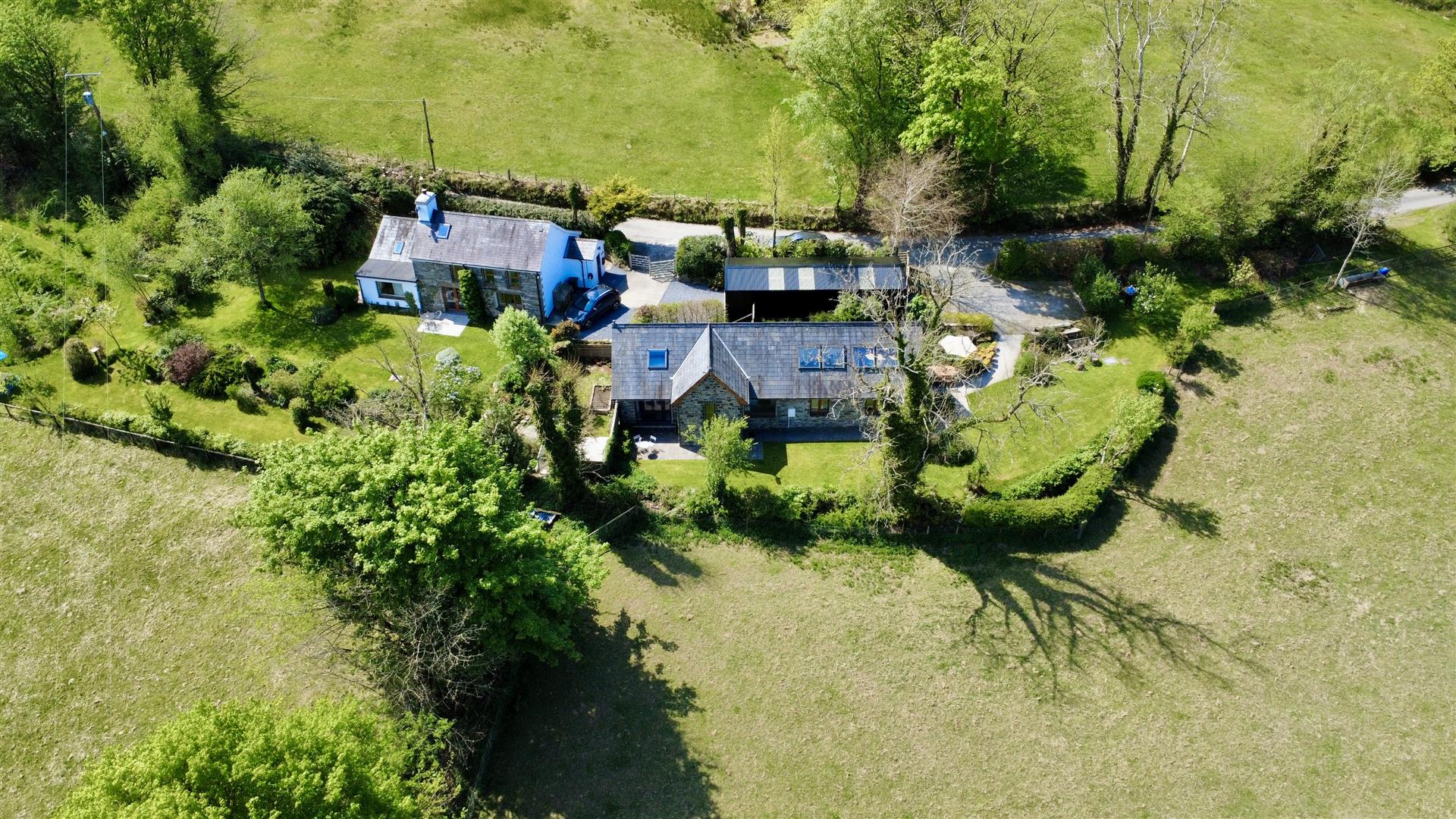
A parcel of some 31.5 acres of upland grazing land in an edge of village location including a stone built barn and an area of woodland. The vendors have also had prior approval for the construction of a 60’ x 30’ agricultural building.A rare opportunity to create your own smallholding or to add to a larger agricultural unit, with a convenient parcel of land accessed via a right of way over third party land on the outskirts of the village of Ponterwyd, approx 12 miles from Aberystwyth.
Rooms
Location
Located on the outskirts of the village of Ponterwyd in the foothills of the Cambrian Mountains and just off the A44 trunk road.
The larger town of Aberystwyth is some 12 miles west on the West Wales coastline.
Access
The land is accessed via a right of way initially through a residential property and then through third party land via an unmade track.
Description
A convenient parcel of land with potential to create your own smallholding or for carbon sequestration tree planting purposes in a great location being conveniently located on the edge of a village.
Land
The land has historically been used for grazing and is bordered by a stream to one side.
Barn
In the centre of the land is a useful stone barn used as a field shelter.
The vendors have also obtained prior approval for a 60'x30' barn. Planning reference number. A230239.
Woodland
There is a stand of conifer woodland on the land.
Services
There are no services connected to the land at present.
Viewing
Please contact the agents to arrange a viewing.
Directions
From Aberystwyth take the A44 east and in Ponterwyd after passing the petrol station take the right hand turning, pass the houses and there is then a bungalow on the left at the end of the village. Go through the two gates and then follow the track to the land. Please do not park on the grounds of the bungalow.
It may be best to park on the road side and walk to the land initially.
EPC
Map
Brochure
Download


